

From Stadacona to the REM · Drawing 08 of 36
The King’s Road
1737
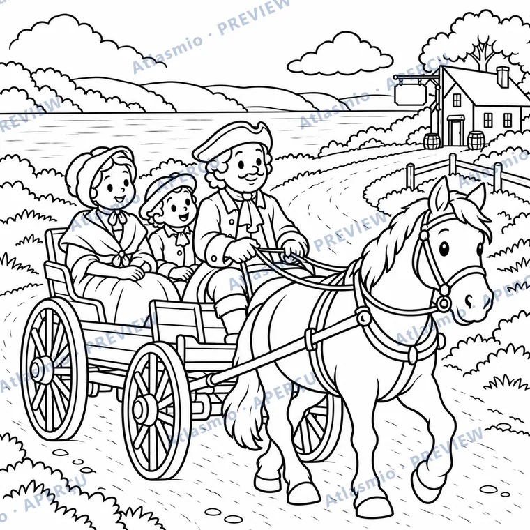
In 1737, the Chemin du Roy, or King’s Road, linked Québec City and Montréal by land along the river. Travellers followed this long road on horseback or in horse-drawn carriages.
Look together
How many horses pull the carriage?
An idea to try
Draw a long road between two towns on a sheet of paper and mark stops for the night. Your child moves a small toy along it and counts the nights.
For the adult reading along
A little more to discover
Completed in 1737, the Chemin du Roy linked Québec City and Montréal over about 280 kilometres. It improved land travel along the St. Lawrence; relay stops helped travellers continue their journey.
The road in the drawing is imaginary. Compare horse travel with trips you take today.
Sources and illustration notes (2)
Imaginary carriage and travellers; the landscape evokes the north shore without a specific place.
These links lead to other websites. Explore them with an adult. References identify the institution and the related lesson; some linked pages are in French.
- Encyclopédie du patrimoine culturel de l’Amérique française — Le chemin du Roy, entre Québec et Montréal (in French)Building of the road from Québec to Montréal, completed in 1737 under Lanouiller de Boisclerc; compulsory labour (corvées); relay stations.
- Le Chemin du Roy — Frequently Asked QuestionsInaugurated in 1737; about 280 kilometres long.
Page prepared on September 19, 2026. Illustrations simplify places and scenes; they are not historical documents.

This drawing is from the book Québec’s Great Moments to Colour
Tax calculated at checkout. Terms of sale