

Canadian history · Drawing 25 of 37
The Trans-Canada Highway
1962
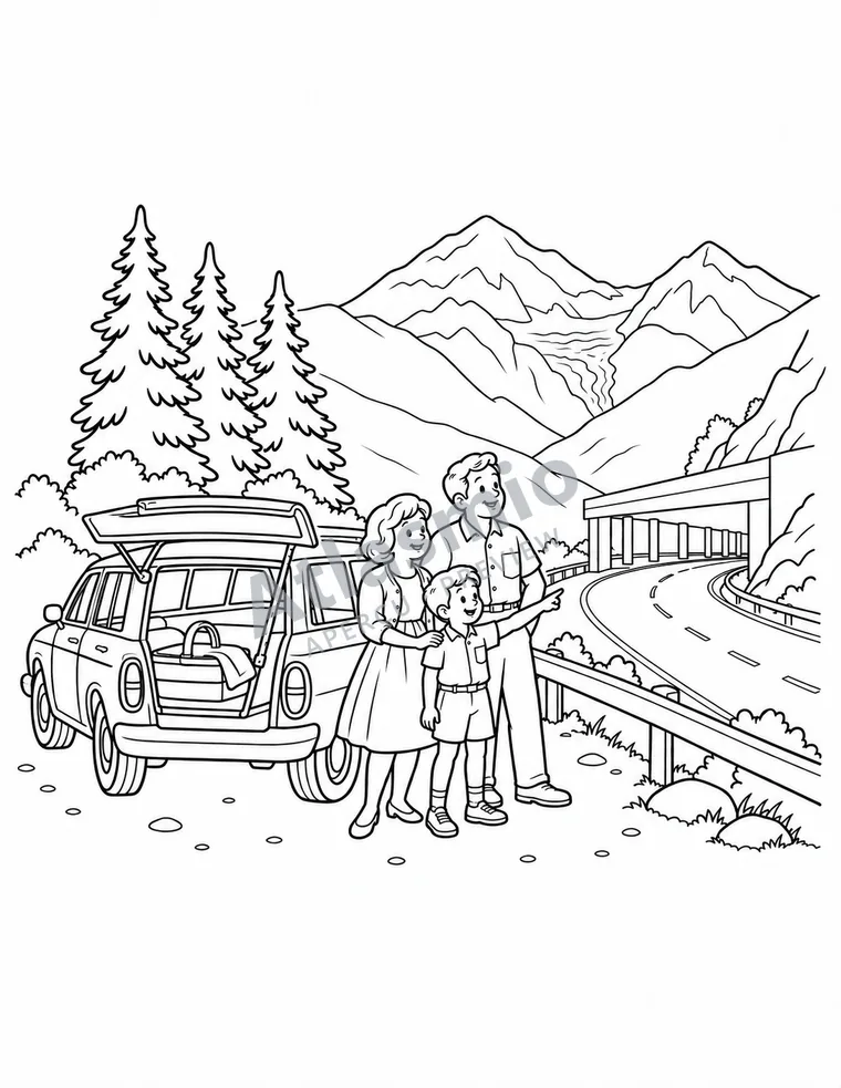
In 1962, the Trans-Canada Highway officially opened at Rogers Pass, in the mountains. Finished in 1971, it links all ten provinces, from Victoria to St. John’s, with the help of ferries.
Look together
If you went on a road trip, where would you go?
An idea to try
On a big sheet of paper, draw a long road from one ocean to the other, then draw three places where you would like to stop.
For the adult reading along
A little more to discover
The Trans-Canada Highway Act dates from 1949. The highway was opened at Rogers Pass, in Glacier National Park: first by British Columbia on July 30, 1962, then by the federal government on September 3. One Newfoundland section was not finished until 1965, and the whole route met the planned standards only in 1971. At 7,821 km, it let families visit each other by car. At Rogers Pass, Parks Canada and the Canadian Forces run an avalanche control program to keep the road open. Roads also cost wildlife: in Banff National Park, fencing and wildlife crossings have cut collisions by more than 80%.
With your child, trace the route from Victoria to St. John’s on a map and find the ferries.
Sources and context (3)
These links lead to other websites. Explore them with an adult. Source titles appear in their original language; some linked pages are in French.
- The Canadian Encyclopedia — Trans-Canada Highway1949 Trans-Canada Highway Act; official opening at Rogers Pass on 3 September 1962 and BC’s earlier opening on 30 July; a Newfoundland section took until 1965; finished to standard in 1971; Victoria to St. John’s with ferries; 7,821 km.
- Parks Canada — The Trans-Canada highway (Glacier National Park)1962 opening at Rogers Pass (July 30 and September 3); about 20 years to build; 7,821 km; families could visit each other by car; snowsheds and the Parks Canada–Canadian Forces avalanche control program.
- Parks Canada — Wildlife crossing structures and research (Banff National Park)44 wildlife crossing structures and 82 km of fencing along the Trans-Canada Highway; wildlife-vehicle collisions reduced by more than 80%.
Source review: 2026-09-26. Illustrations simplify places and scenes; they are not historical documents.