Science Secrets · Drawing 40 of 40
How Does the Map Know Where We Are?
Everyday Inventions
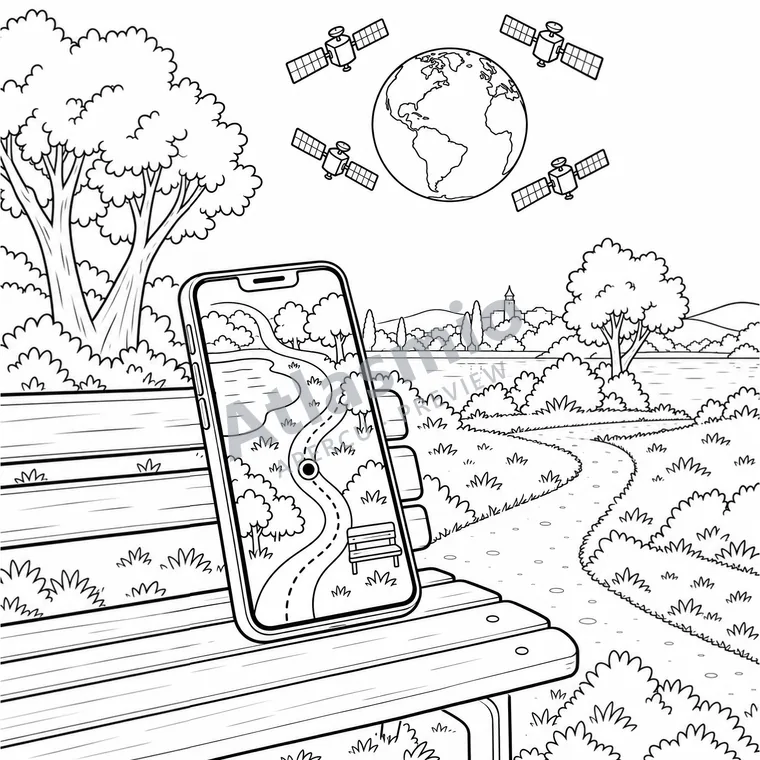
A GPS receiver picks up signals from satellites. It compares their travel times to calculate its position. A phone can then place a dot on a map. What a useful way to find our place!
Did you know?
A GPS receiver usually needs signals from at least four satellites.
Look together
Which park landmark could you compare with the map?
An idea to try
With an adult, compare a map with a nearby landmark. Observe the position dot while standing still.
For the adult reading along
A little more to discover
The receiver estimates distances and corrects its clock offset; GPS signals are one-way. The imagined inset shows four satellites without keeping scale. GPS is not always exact.
Sources and illustration notes (2)
Simplified scene and shapes. Models, imagined comparisons and enlargements do not preserve all real measurements.
These links lead to other websites. Explore them with an adult. References identify the institution and the related lesson; some linked pages are in French.
- NOAA: The Global Positioning SystemFour satellite signals support three-dimensional positioning and correction of the receiver clock error.
- GPS.gov: TrilaterationSatellite positions and signal travel times allow the receiver to estimate distances and calculate a location.
Source review: 2026-10-12. Illustrations are simplified for colouring.